
FIELD GUIDE · MARINE ECOLOGY
Understanding Marine Debris
From shorelines to ocean gyres.
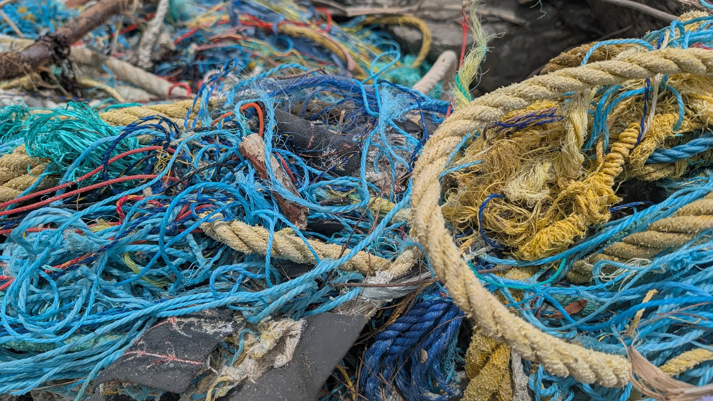
Marine debris includes persistent, human-made solid material that is lost, discarded, or abandoned in marine and Great Lakes environments. It ranges from fishing gear and packaging to fragments too small to see easily. Debris can entangle wildlife, be mistaken for food, damage habitats, and create hazards for boats and coastal communities. [1] [2]
View full-size photograph: bottle caps collected from Midway Atoll’s shoreline
Bottle caps recovered during a marine debris removal effort at Midway Atoll. Photograph: NOAA Pacific Islands Fisheries Science Center. Image source and credit.
How Marine Debris Moves
Debris reaches the sea through many routes, including wind, stormwater, rivers, coastal activity, shipping, fishing, and losses at sea. Once afloat, winds and currents can carry material far from where it entered the water. Some debris strands on shorelines or sinks; other pieces continue circulating offshore. Finding an item in one location does not, by itself, identify its source. [2] [3]
View full-size map: major ocean gyres and surface currents
Major ocean gyres and currents, illustrated by NOAA National Ocean Service. This is a circulation overview, not a map of debris concentrations or a prediction of any item’s journey. Map source and credit.
The North Pacific Garbage Patch
The Great Pacific Garbage Patch describes areas where floating debris accumulates within the North Pacific subtropical circulation. It is not a solid island of trash. Much of the debris is dispersed, and many items are small plastic fragments that are difficult to see from a boat. Winds, waves, and currents continually redistribute the material, so the patch does not have a permanent, sharply defined edge. [2]
Size matters when interpreting research: small fragments may dominate an item count, while larger objects contribute much more mass. Field surveys and models therefore describe different aspects of the same pollution problem. [4]
Where Does the Debris Come From?
A gyre can receive debris through many routes. A collection location or photograph alone cannot establish that an item came from Sumatra, another island, or a particular country. Its movement depends on ocean conditions and on how the material floats, responds to wind, becomes stranded, or sinks. Avoid treating a general current map as evidence of a specific source. [1] [3]
The Indian Ocean also has documented debris accumulation. Connan and colleagues’ 2021 survey recorded floating macro-litter in the southwestern Indian Ocean, with uneven concentrations and an accumulation south-east of Madagascar. That finding should not be interpreted as a fixed, continuous island of waste or a traced route for debris from Indonesia. [5]
From Understanding to Action
Prevention reduces new debris entering waterways. Shoreline cleanup removes accessible material, while repeated monitoring helps document what is present and how it changes. Explore MRM’s field work and the standardized monitoring approach below.
References & Further Reading
[1] NOAA Marine Debris Program. What Is Marine Debris?
[2] NOAA Marine Debris Program. Garbage Patches.
[3] NOAA National Ocean Service. What Is a Gyre?
Earlier Research
Carpenter and Smith (1972). Plastics on the Sargasso Sea Surface.
Moore et al. (2001). A Comparison of Plastic and Plankton in the North Pacific Central Gyre.
Image Credits
Ocean-gyre map: NOAA National Ocean Service.
NOAA multimedia reuse guidance. Images are linked to their original NOAA sources. NOAA attribution does not imply endorsement of MRM.